Industry's most accurate and reliable solution for RTK laser measurement.
SDi represents a significant advancement in geospatial technology, offering unparalleled precision and versatility. The integrated laser module with Stellar Cameras, helps to measure the hard-to-reach points even in tough conditions.
Rental includes:
- SDi RTK GNSS Reciver
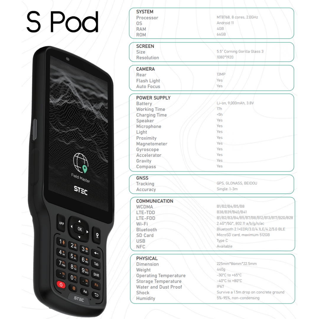
- Data Collector loaded with Field Master Survey Android App
- Survey Pole
Product Highlights:
-
LaserFix: Adopting a large signal-receiving sensor and distance measuring technology heritage from total station, SDi can get the coordinates on the point where you shoot the laser, with an accuracy of less than 2cm within 5m and 3cm within 10m.
-
Stellar Cameras:
Stellar camera has an incomparable performance in dark environment compared with ordinary camera of others.
No matter stake-out, or LaserFix in the dark, we can get clear and bright images and make accurate maneuver.
-
Fusion AR Technology:
Dual cameras on the receiver immensely improve the accuracy and directivity during AR state out. And this is the Generation 2 of STEC fusionAR.
The front camera first shows the direction and distance of the point to stake out. And when it comes closer, it will smoothly shift to the bottom camera to show a more accurate direction until you pin on the right point. All operations only require one click to activate.
-
EZTilts:
The 2.0 version of EZtilts adopts an upgraded IMU unit and improved algorithm especially tailored for LaserFix.
Faster to initialize. Better accuracy and reliability. Wider angle you can tilt and get fix.