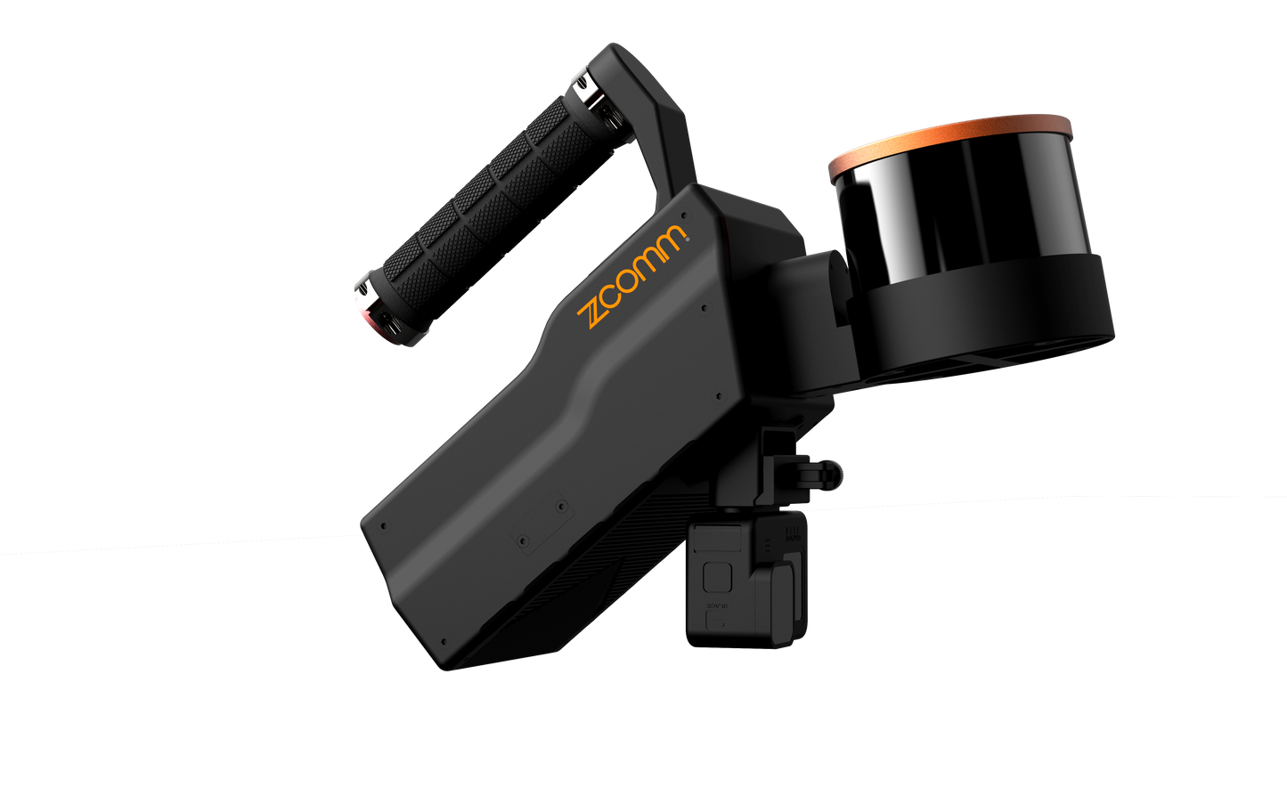
Cybermap X-Pro - HAND HELD LIDAR
Cybermap X-Pro - HAND HELD LIDAR
Our LiDAR SLAM-based scanning technology provides precise geospatial data for BIM, mining, AEC, surveying and mapping industries, it is robust, reliable and powerful, it is able to explore indoor, outdoor and underground spaces without any GPS signal.
 3D Modeling
Combining Cybernap-X LiDAR scanner with a 4K HD camera makes it possible to perform rapid integrated indoor and outdoor modeling of buildings. The system can be handheld or mounted on drones, enabling the generation of high-quality, millimeter-precision true-color point cloud data even in GPS-denied environments.
 Industrial Digital Twin
Utilizing the Cybermap-X LiDAR scanner in handheld, airborne, or vehicle-mounted modes, it is possible to rapidly create 3D digital twin models of large-scale and long-distance industrial sites. Real-time rendering of RGB color point clouds is achieved, and high-precision products such as Digital Elevation Models (DEM), Digital Surface Models (DSM), Digital Land Models (DLG), and others can be generated. This provides robust support for industrial planning and design in the field.
 Underground Spaces
Using the handheld LiDAR scanner Cybermap-X Lite, it is possible to achieve on-the-go scanning of underground spaces. Leveraging SLAM (Simultaneous Localization and Mapping) algorithms, even in GPS-denied underground environments, it can rapidly identify trespassing, calculate volumes, and gather other information to achieve precise underground modeli